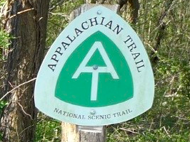
The trail is 2178 miles long and runs from Maine to Georgia. It’s world renown and it runs through the Shenandoah Mountains which are practically in my backyard. I like hiking so it’s a natural stomping ground for me. My past walks along it were purely by chance as parts of different hikes. Today my goal was the AT.
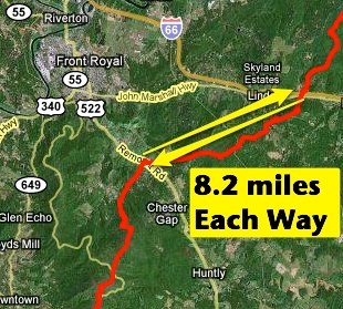
This morning I started at a convenient parking lot where the AT crosses I-66 and walked to another parking lot where the AT crosses US 522 (see map below). My thinking is that next time I’ll start my hike at the parking lot where I turned around. Using this logic I hope to string together all the segments of the AT through the Shenandoah. We’ll see if I’m up to it!
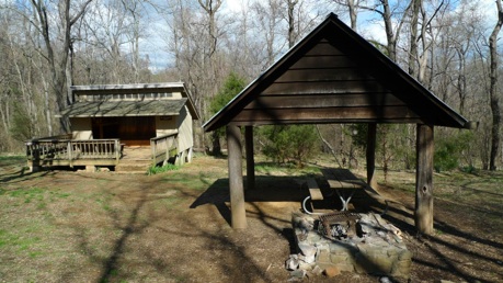
Along today’s hike I saw my first AT Shelter. A fleeting idea I had early on was that I’d hike the length of the Appalachian Trail. This would involve lots of backpacking and camping in shelter areas so I took a look. I was pretty impressed. The AT volunteers really do a lot. Oh, to be clear, I’ve given up on the idea of hiking the entire AT. I’ll just hike contiguous segments within the Shenandoah and sleep in my own bed at night.
 Jim and Molly Denton Shelter
One consequence of hiking solo is that each time I need to retrace my steps. For instance, today’s hike was 8.2 miles one-way making for a rather long 16.4 hike overall. If I am able to complete my agenda of hiking the 115 miles I’ve mapped out then I’ll actually have walked a total of 230 miles. Gosh, stated THAT way perhaps I should be less ambitious!
 VA-Section 5 (click here for interactive AT map)


