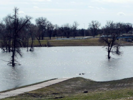
Why don’t I remember the great flood of 1997? Apparently the entire region of Grand Forks was flooded that year and much of the downtown burned. As I rode along the waterfront I couldn’t help but notice the imposing new levee system built by the Corp of Engineers. Also, it was unavoidably apparent that the river was flooded again as my bicycle path periodically disappearing into the river! The Red River can really wreck havoc on these poor peoples’ lives.

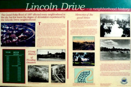
The image above is of Lincoln Drive, a housing community which was so devastated that it’s now only a park. I don’t expect you to read the sign above, just note the upper left picture where the river rises over the levee and floods the community. Also, note the sketch in green which showed how the Red River almost encircled the streets. Click on the image for more info.
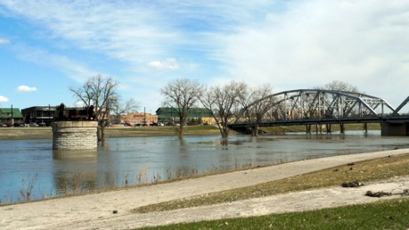
The picture below shows evidence of silt and debris left by the receding river. The road of the bridge you see below was under water during this flood. To the left of the picture is a monolith which marks the high water mark of 1997. It may not look all that much above current water levels but remember, the river is still very high from recent flooding.
This is not a river I’d like to live next to!
